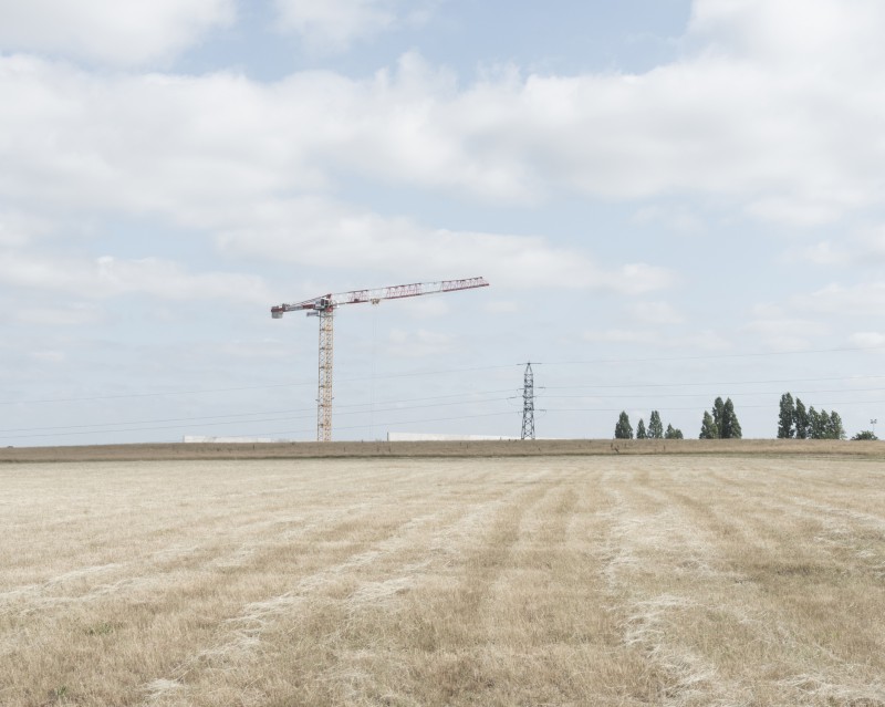
Résidence réalisée avec Delphine Dauphy au Musée de Bretagne, sur les contours de la ville de Rennes.
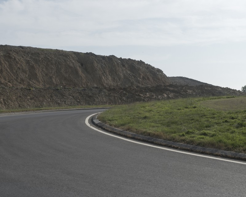
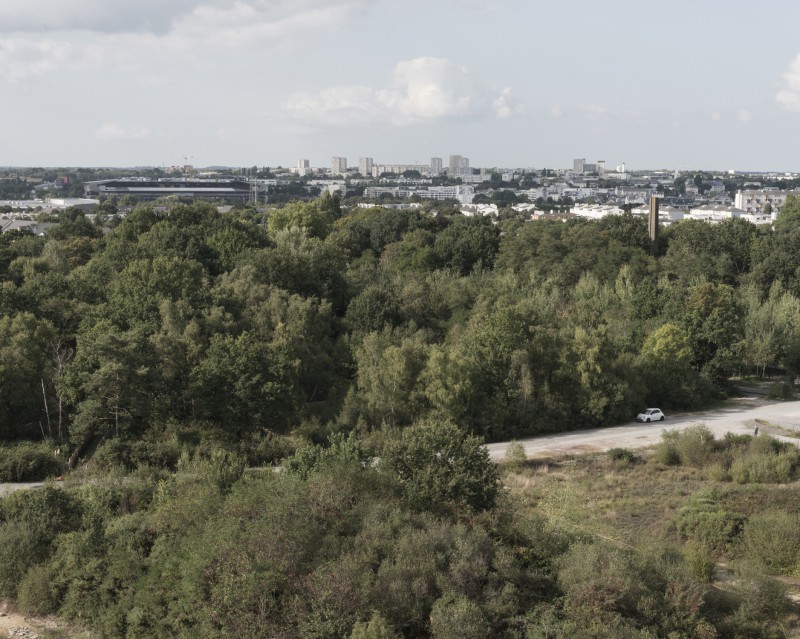
Rennes possède une «ceinture» verte, véritable trame du contour de la ville. Cette ceinture décrit les limites de l’expansion de ses contours suivant le dessin de la Rocade.
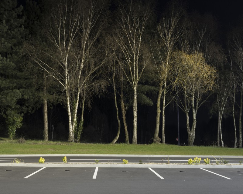
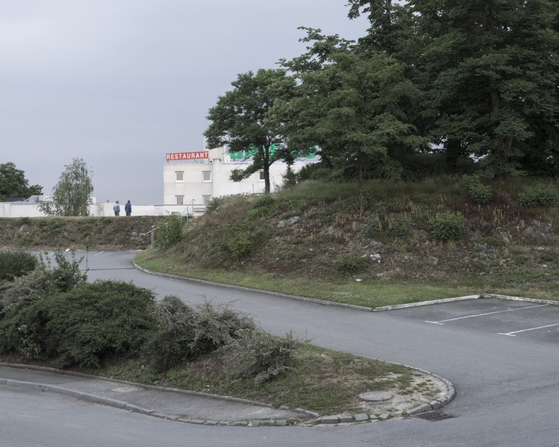
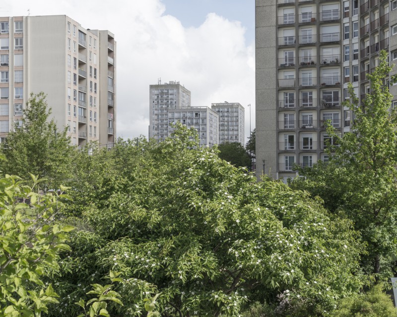
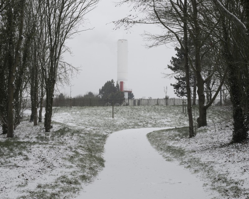
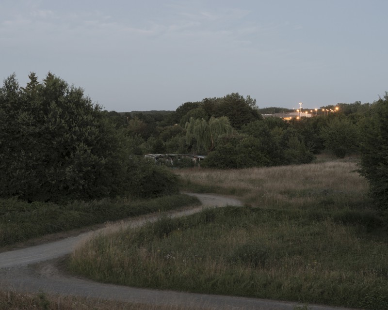
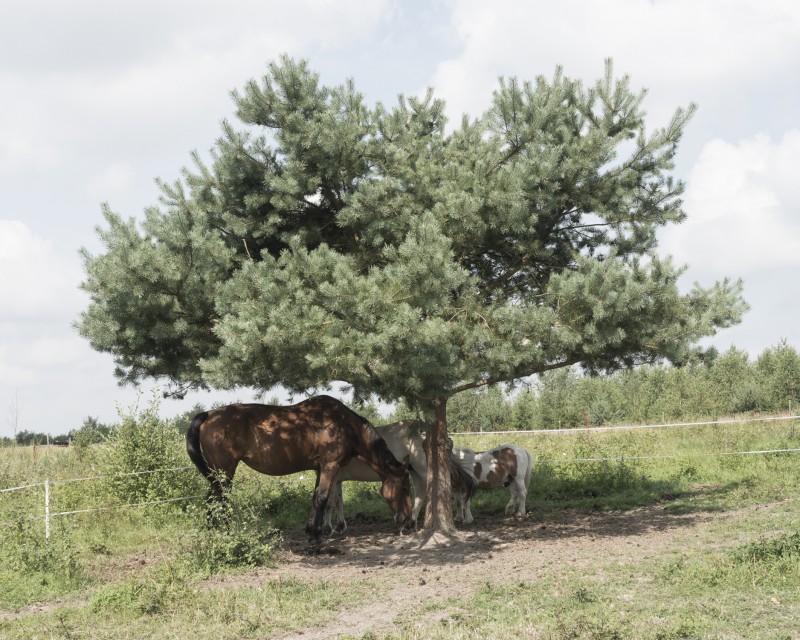
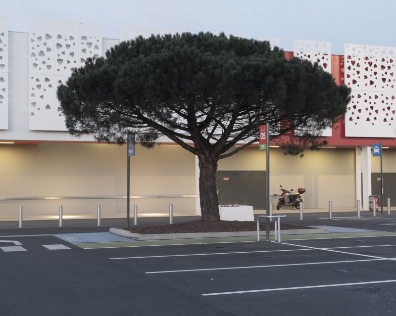
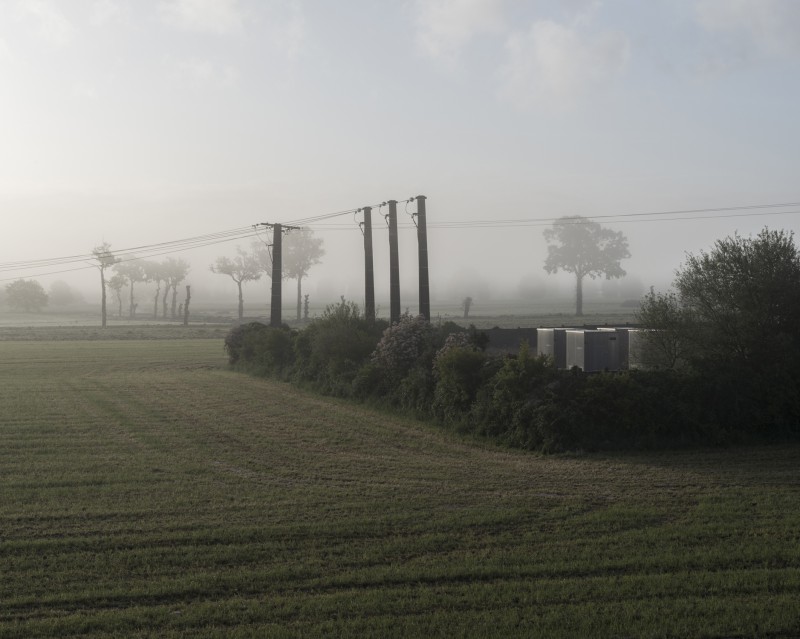
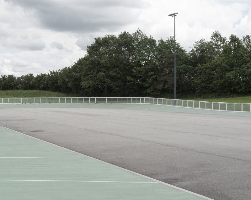
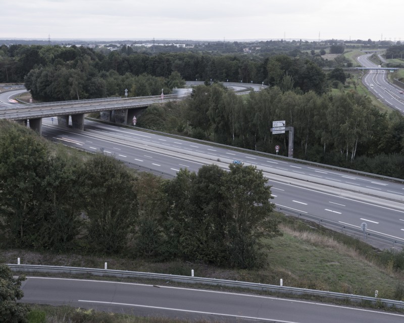
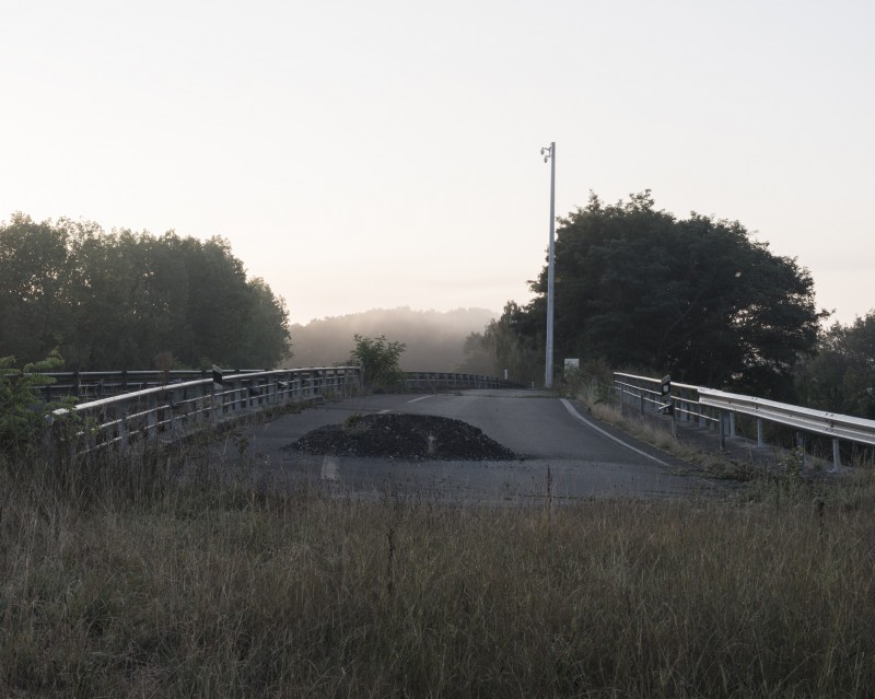
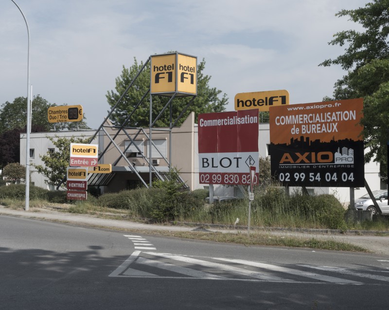
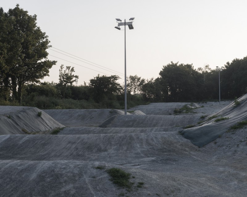
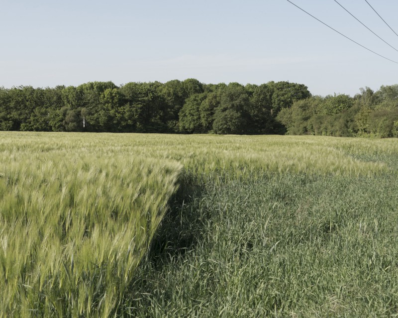
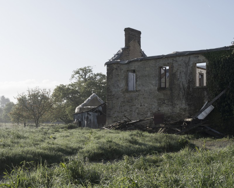
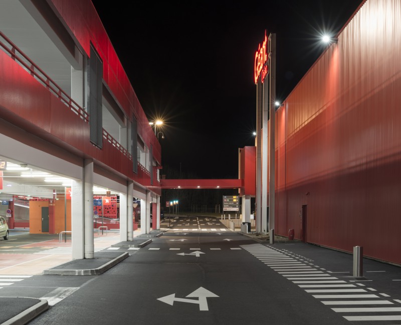
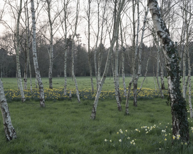
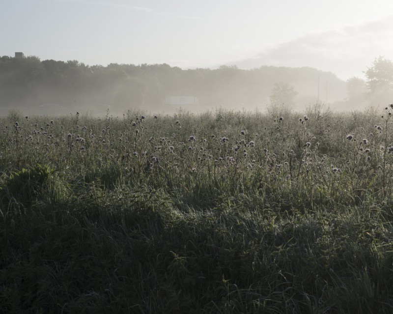
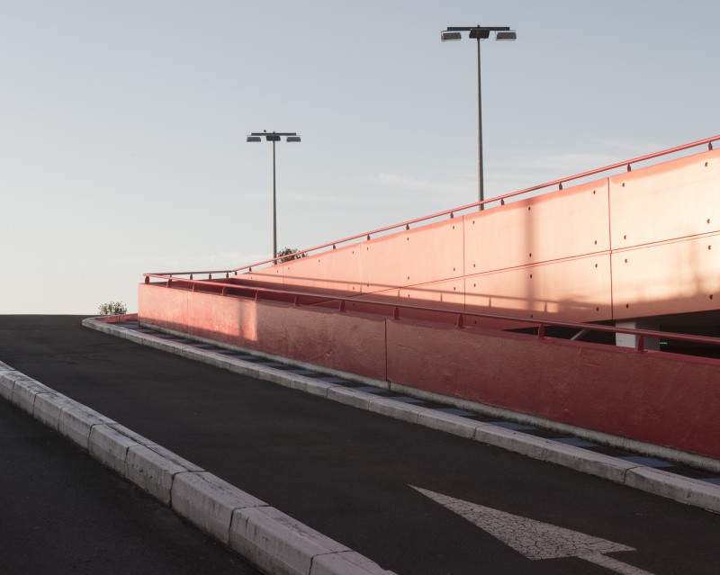
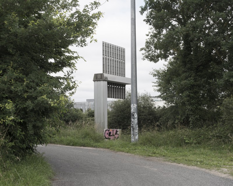
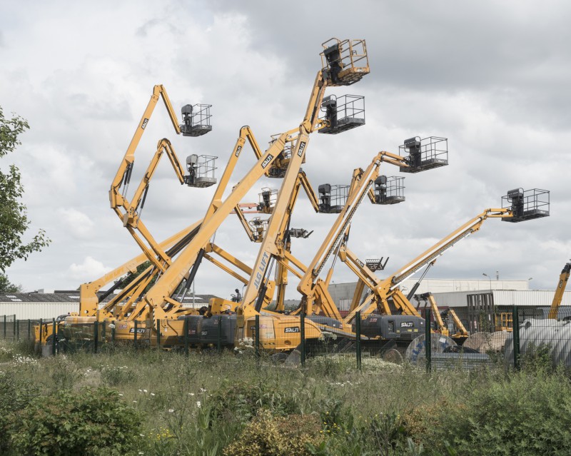
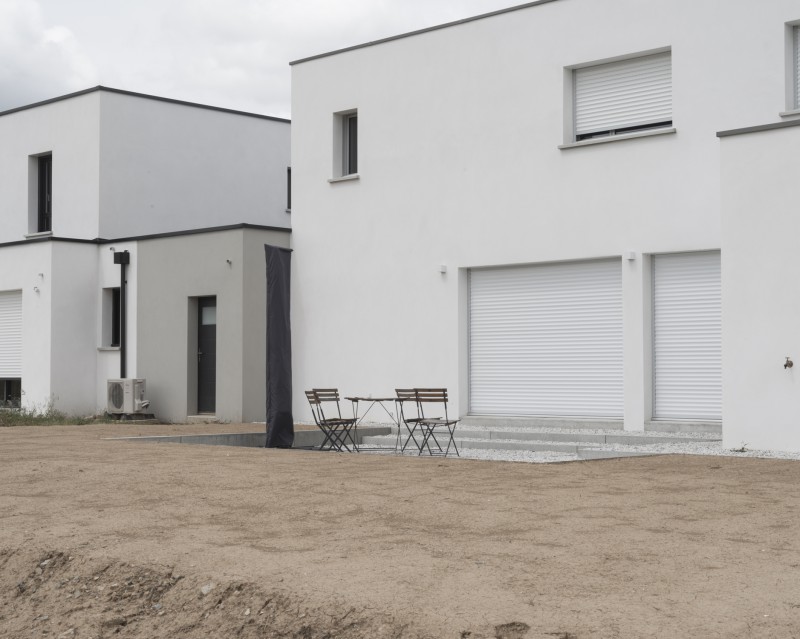
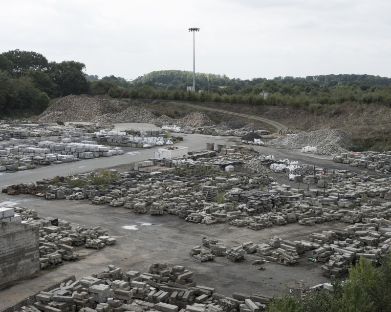
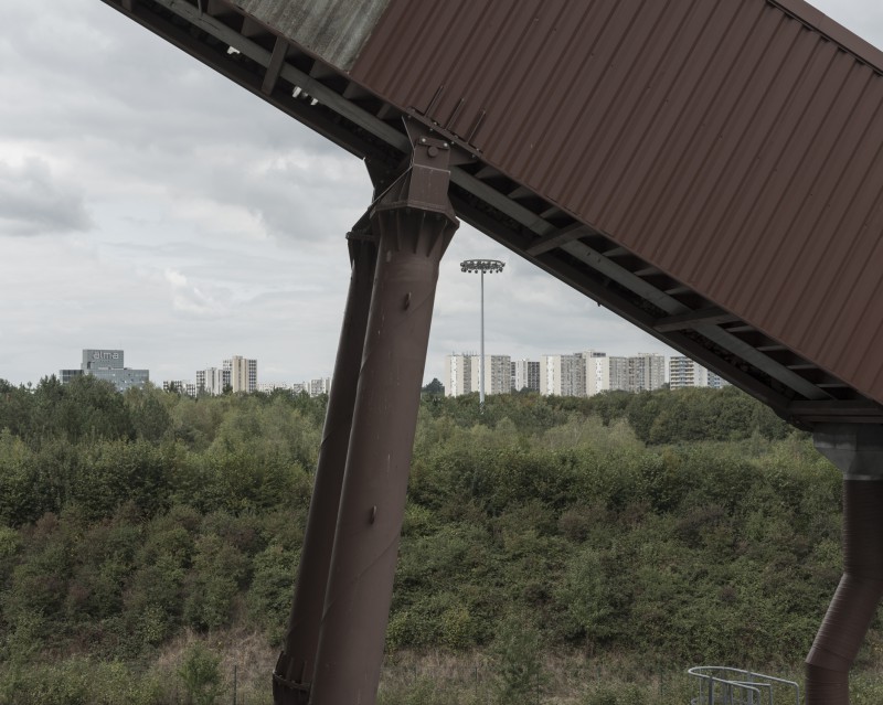
Dès les années 1970, s’est instaurée une réflexion stratégique destinée à développer une vision globale pour le devenir de la métropole rennaise. Il s’agit alors d’une première approche du concept « Ville-Archipel » basé sur une alternance ville-campagne et sur l’importance des ceintures vertes qui englobent les aires urbaines. En effet, cette organisation territoriale laisse une large place aux espaces naturels et agricoles entre les bourgs et les villes. Peu de temps avant, en 1967, commencent les travaux de construction de la rocade de Rennes traçant ainsi les contours de la « ville-centre » de la métropole. Cette voie forme aujourd’hui un anneau de 31 km. Si la rocade impose physiquement les bordures de la ville, le paysage urbain contemporain forme un ensemble hétéroclite d’espaces aussi différents que des parcs, des industries, des habitations, des centres commerciaux, des champs à ses abords. L’urbain, le péri-urbain et le rural s’interpénètrent dans ces lieux transitionnels que sont ces marges.
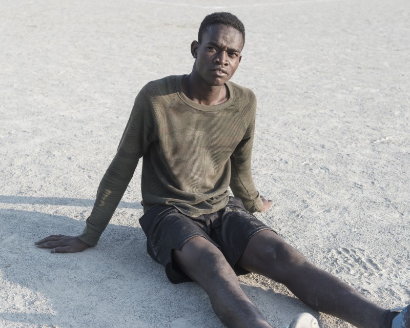
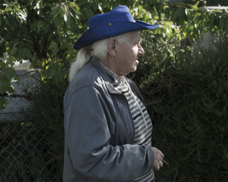
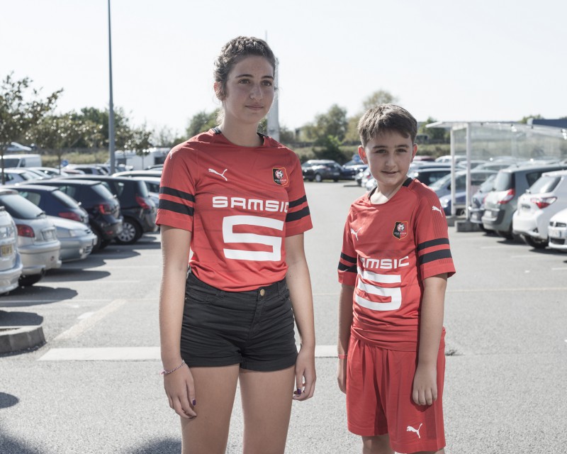
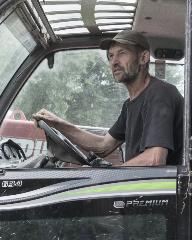
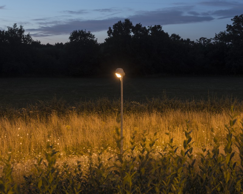
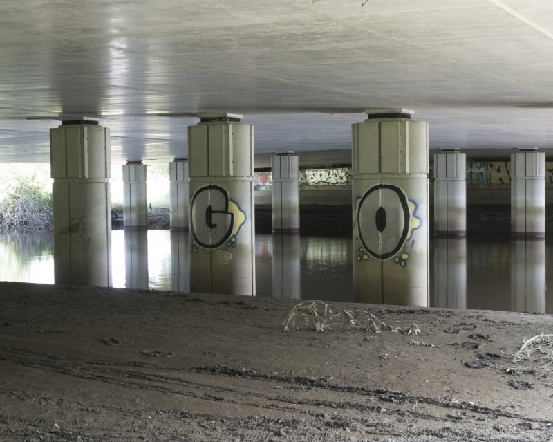
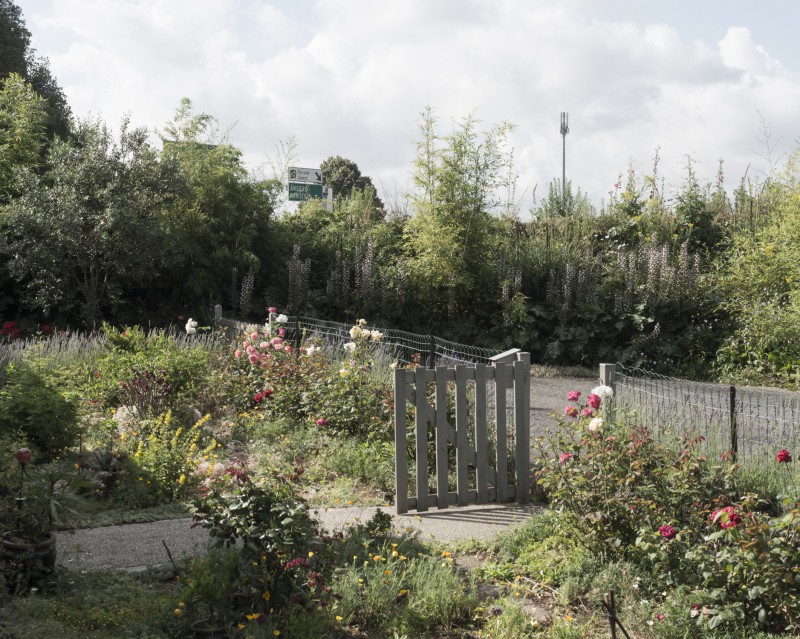
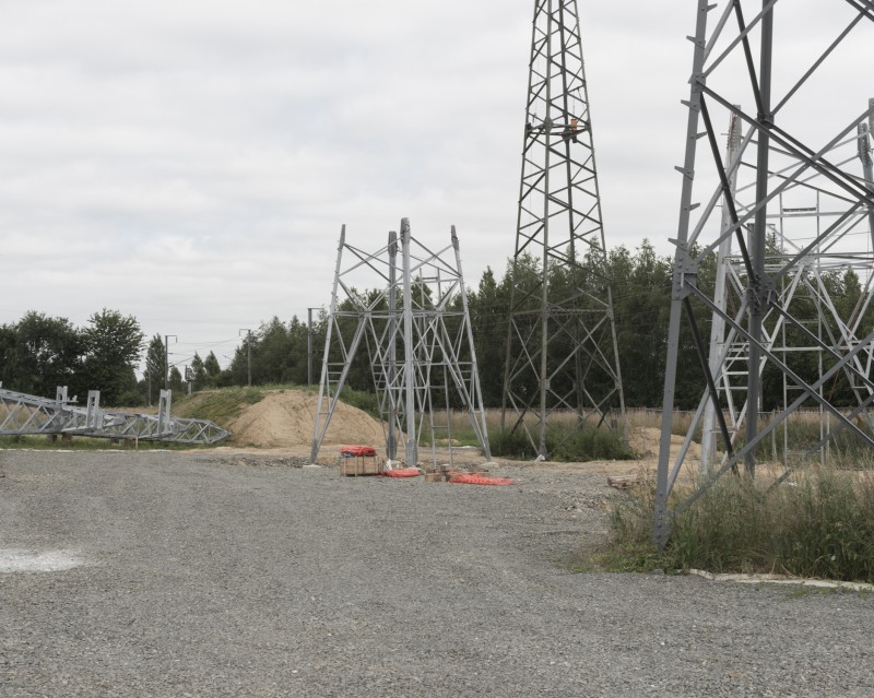
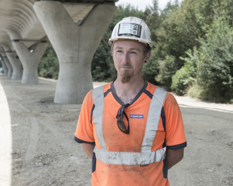
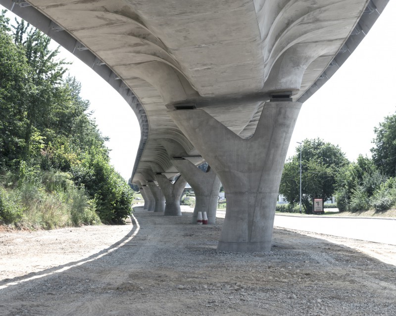
A travers un parcours photographique entre axe routier et aménagement urbain, en longeant les zones des limites extérieures et intérieures, nous avons voulu documenter l’organisation de la ville à travers son urbanisation, son aménagement et ses infrastructures. En suivant le parcours de la rocade, dans un sens, puis dans l’autre, dans les limites sonores de l’axe routier, nous nous sommes attachés à décrire la particularité des lieux et à faire le portrait des personnes qui les traversent, qui les habitent.
La périphérie, souvent perçue négativement, s’est avérée riche en paysages et en rencontres.
Delphine Dauphy et Marc Loyon
Residence realized with Delphine Dauphy at the Museum of Brittany, on the contours of the city of Rennes.
Rennes is bounded by a green belt, a frame that outlines the city. This belt traces the limits of its contours’ expansion along the ring road.
In the 1970s, strategic reflections began with the purpose of drawing up a comprehensive vision for the future of Rennes as an urban area. It was an initial attempt to implement the notion of Ville-Archipel (‘Archipelago City’), a concept based on alternating portions of town and countryside that underlines the importance of green belts encircling urban areas. Indeed, this territorial arrangement provides much room for natural and agricultural spaces between small towns and cities. Not long before then, in 1967, building work began on the Rennes ring road, which traced the outlines of the urban area’s core. Today, this road forms a circular route that covers 31 kilometres. While the ring road constitutes the city’s boundaries physically, the area’s edges are made up of an urban landscape of sundry sites ranging from parks and fields to industrial zones, shopping centres and housing. Urban, suburban and rural settings intermingle in these transitional spaces or margins.
Through a photographic journey between roadways and urban planning, alongside areas that make up outer and inner frontiers, we have sought to document the city’s composition via its development, layout and infrastructure. By following the ring road in one direction, then in the other way, and keeping within hearing distance of this major route, we attempted to depict the particularities of these spaces and paint a portrait of the people who traverse and inhabit them.
Often perceived in a negative light, the periphery turned out to be rich in landscape and encounters.
Delphine Dauphy and Marc Loyon

